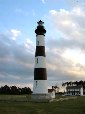
Before the first roads criss-crossed the Outer Banks, before the first navigation chart of the Graveyard of the Atlantic could be created, the area had to be mapped. Writing for the Island Free Press, Catherine Kozak tells the story of the first survey team and how that remarkable legacy is being remembered.
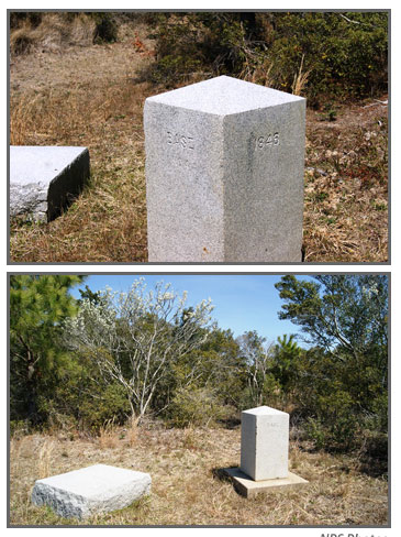
“At the gateway to Cape Hatteras National Seashore, in the middle of woods inhabited mostly by ticks and deer, there is now a monument honoring the only remaining original baseline for surveying on the East Coast.
Among all the intriguing history on the Outer Banks, there may be none that seems so prosaic.
“We all know this may not mean a lot to very many people, ” Charles Brown, a state Department of Transportation location and surveys engineer, acknowledged during brief comments at the monument unveiling on Friday, “but it means a lot to us surveyors.”
[box type=”bio”] To read the complete story, click HERE.[/box]