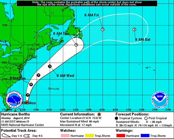
If there is such a thing as a well-behaved tropical system, little Miss Hurricane Bertha would certainly head to the front of the class. The forecast tracks have narrowed the focus of the trajectory well offshore, neatly dividing the 650 miles between the Outer Banks and Bermuda with no landfall projected.
A hurricane passing a few hundred miles offshore creates the conditions surfers dream about—long clean swells with nice barreling. Forecasts are calling for 5’-6’ waves with light winds tomorrow, and gradually diminishing waves for Wednesday. For bigger swells, head to the south facing beaches on Hatteras Island where afternoon forecasts are calling for 7’ swells tomorrow.
Tuesday and Wednesday should be the best days for surfing which coincides with the exit of the system that has brought four days of rain to the Outer Banks.
The rainmaker that is sitting over us has made for soggy living for the past few days, but it’s also the reason Bertha will not make landfall. When the National Hurricane Center says part of the reason Bertha is heading out to sea is because of “. . . a broad trough moving off the United States east coast . . . “ all that rain is the broad trough.
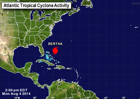
Bertha is the only tropical system in the Atlantic right now.
[box type=”bio”] To see the latest National Hurricane Center information on Hurricane Bertha, click HERE.[/box]