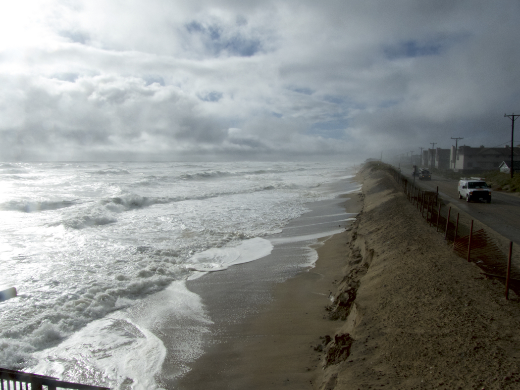
Hermine may just be a tropical storm, but she sure has packed a wallop on the Outer Banks. Kip Tabb writing for the North Beach Sun took his camera out this morning, got some pictures and put his thoughts down about the storm. Reports are rolling in now from Hatteras and Ocracoke that aren’t great– lots of flooding from the high winds on the back side.
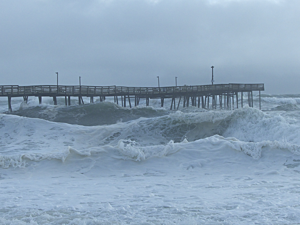
This short video was around 10am shot during the eye of the storm. Fairly calm winds and no rain- for a bit. Then the feisty back wall came through with gusts clocked at 80 mph at Jeanette’s Pier, much fiercer than we were expecting!
“It looks as though the Outer Banks is going to be dealing with the lingering effects of Tropical Storm Hermine through today and into tomorrow. And depending on what happens when as it heads out to sea, we may be dealing with the waves it generates for a few days after that. The forecast models have been consistent in showing the storm slowing down or even stalling off the coast of New Jersey and probably re-intensifying.”
[box type=”bio”] Hermine and the effect she is having on the Northern Outer Banks is told in this North Beach Sun article. [/box]