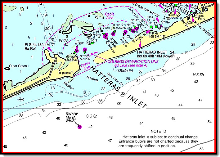
Hatteras Inlet and Shelly Island part of shoreline changes.
Dynamic and ever-changing, as the Hatteras Island shoreline grows at The Point, navigating Hatteras Inlet become more hazardous. Writing for the Coastal Review Online, Cate Kozak does a great job of describing the forces at work and this piece includes fascinating Google Earth timelapse of changes to Hatteras Inlet and Cape Point from 1984-2016.
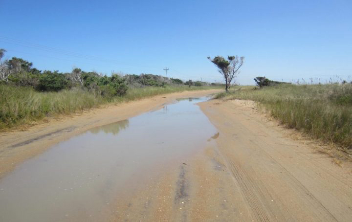
“Whatever mysterious forces crafted the new, crescent-shaped island at Cape Point is at the same time steadily gulping down the south end of Hatteras Island, spitting aside trees, power poles and a popular route for off-road vehicles.
Thanks to aerial photography and social media, so-called Shelly Island was a summertime sensation, attracting thousands of beach drivers to see the new phenomenon. But 15 miles west-southwest, sand travel has not attracted as much excitement, but it has become a much more serious concern.”
[box type=”bio”] As The Point grows, Hatteras Inlet shrinks. Read the rest of this story on The Coastal Review Online.[/box]